FAQs
-
Where is Sussex County located?
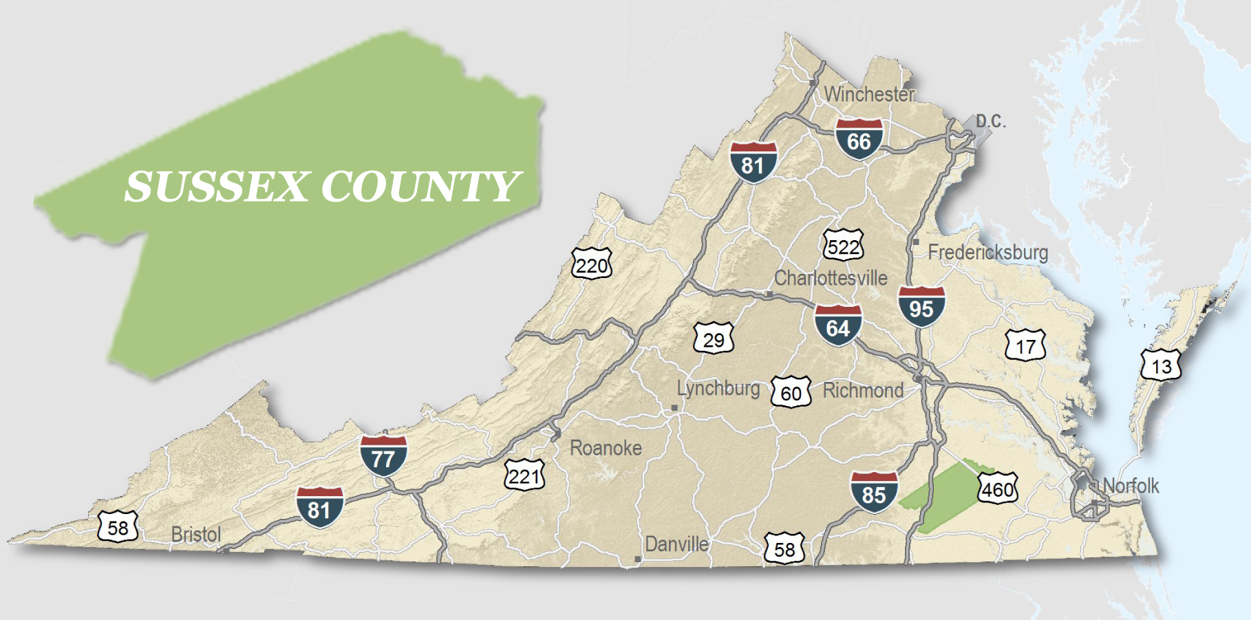
 Sussex County is located in the south central region of Virginia. The County is 45 miles southeast of the capital city Richmond, and 25 miles from the tri-cities area which includes Petersburg and Hopewell. Washington, D.C. and Baltimore are within a few hours drive.
-
What is the local economy like?
- The local economy is based on agriculture and agriculture-related manufcturing. Agriculture accounts for over one-half of the county's basic employment and more than a quarter of its total employment. Other basic industries include manufacturing, peanut shelling, tourism, and non-local government. Taxable retail sales totaled $44,290,860 in 1998.
-
What is the climate like in the County?
- Sussex County has a relatively moderate climate. The average annual temperature is 59.2 degrees. The average January temperature is 39 degrees. The average July temperature is 78.1 degrees. The annual rainfall and snowfall is 44.64 inches and 8.9 inches, respectively.
-
What type of topography does Sussex have?
- Sussex County encompasses 317,400 acres or 496 square miles. The county lies in the Coastal Plain region on level to slightly rolling terrain.
- Elevations range from 50 to 250 feet above sea level. Drainage in the area is provided by the Nottoway River, Blackwater River, and Stony Creek.
-
Where does the county get its name?
- Sussex County was formed in 1754 from Surry County and named after Sussex County, England. Settlement of Sussex County started prior to 1700 when people began to move south of the Blackwater River.
-
What are the population numbers?
- As of 2010, the county of Sussex is inhabited by approximately 12,500 people.


 Made in the U.S.A.